BRITISH CARTOGRAPHY · MADE TO ORDER

Detailed county maps,
designed around you.

Any county. The boundaries and detail you need.

County maps for print, business, publications and the wall. Choose any county, add the information that matters, and leave the cartography to us.

A4 to wall size • Vector artwork • Your data & branding

THE ISLE OF WIGHTSAMPLE No. 01 / COUNTY EDITION
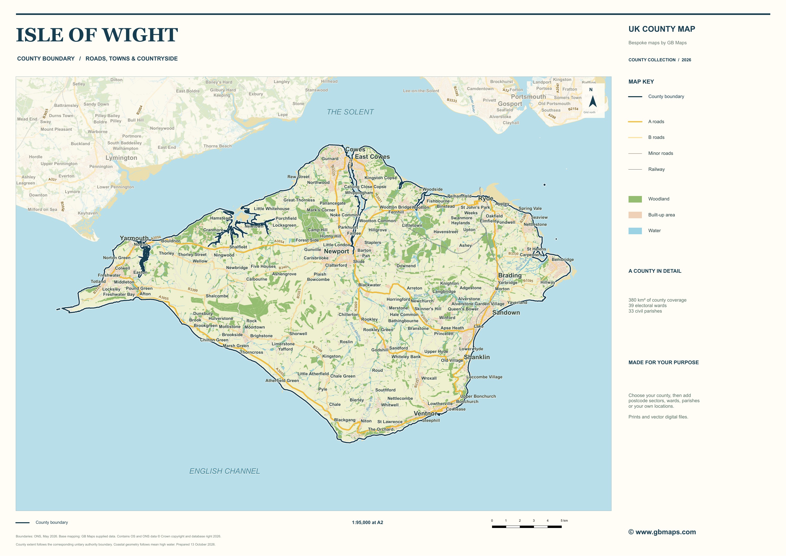
Isle of Wight · County boundary — full map sample
Isle of Wight · County boundaryA2 map design

A real map from our sample collection. Click to inspect the detail.

01

Choose your areaOne parish, a county or the whole UK.

02

Make it your ownBoundaries, locations, labels and data.

03

Put it to workPrints, publications and editable files.

LOOK CLOSER

Compare county, postcode, ward & parish maps

These are real examples of our work. Switch the boundaries, then open a map to pan and zoom.

Isle of Wight · County boundaryA2 landscape · 1:95,000 at print size

Examples prepared October 2026. Postcode-sector samples are indicative; their source edition is unrecorded. We agree the boundary type and edition for your commissioned map. Sample use & credits.

Know the places behind the maps

MORE THAN A COUNTY OUTLINE

Add the boundaries and information you need

Show electoral boundaries, plan a sales territory, explain your service area or plot a dataset. We can combine the geography you need with a considered, readable map design.

Explore boundaries & data
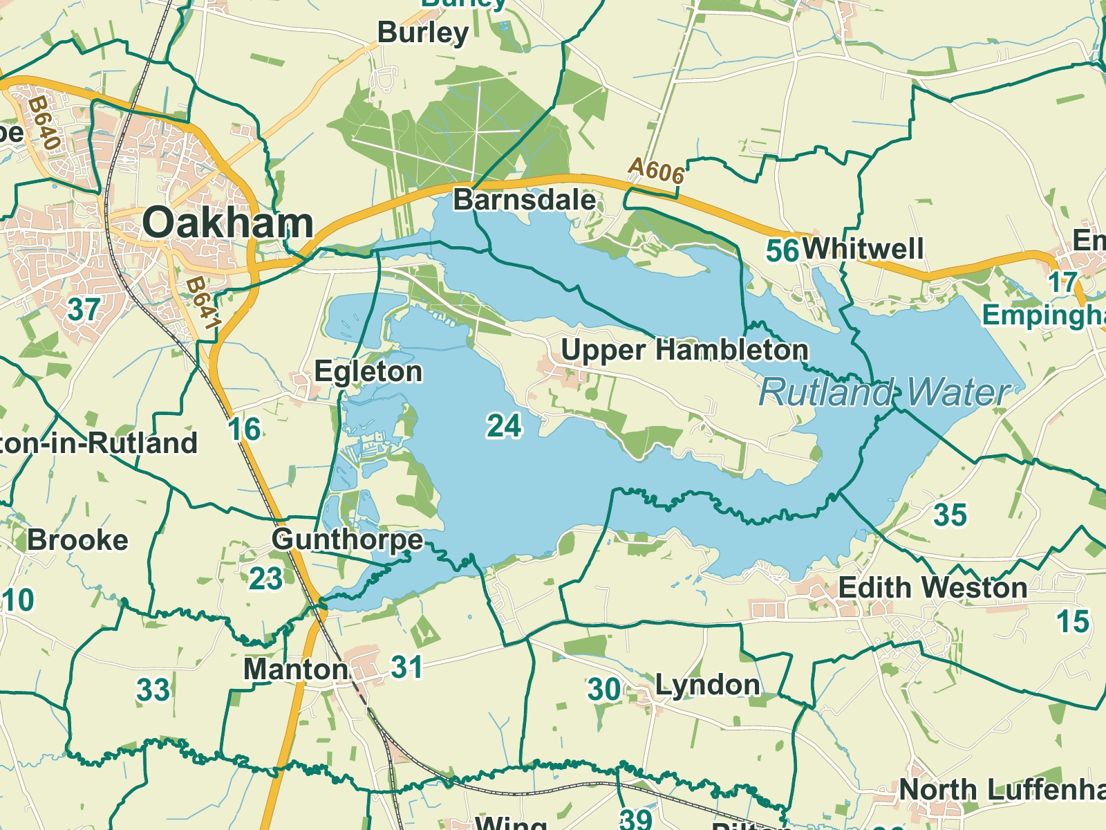
Rutland · Civil parishes — detail sample

Rutland parish sample — crisp boundaries, clear roads and carefully placed labels.

THE DIFFERENCE IS IN THE DETAIL

Clear labels, boundaries and geographic detail.

We balance road widths, boundary colours and label sizes for the way your map will be viewed. A presentation, a printed report and an A0 wall map each need a different approach.

01

A useful level of detail

Keep the features you need. Remove the clutter you do not.

02

Your colours and identity

Match your brand, add your logo and choose the emphasis.

03

The right final format

Request a print-ready PDF, editable vector artwork or an image for your website.

How we make your map →
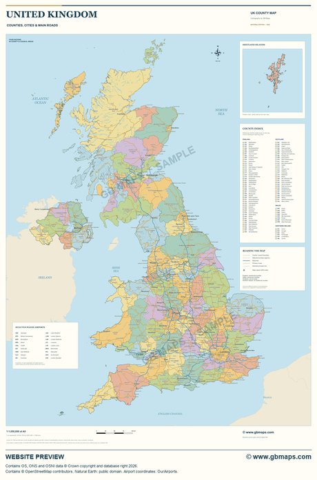
United Kingdom county wall map overview

THE BIGGER PICTURE

An A0 county wall map of the United Kingdom

Counties, cities, main roads and major airports, composed for a generous A0 sheet. See the overview and close-up samples.

Explore the UK county wall map →
A0841 × 1189 mm

START WITH A CONVERSATION

What would you like
your map to show?

Tell us about your area, audience and idea. We will come back with a practical suggestion and a clear quote.

Prefer to talk?
01751 473136

A few sentences are enough. Tell us the area, what you want to show and where you will use it.

A personal reply within an hour.

Your details are used to answer your enquiry. No mailing list. Privacy policy

MAP SAMPLE

Explore the map

100%
Loading the detailed map…